Using drones for construction progress tracking helps clients gain real-time, high-resolution insights into project status, improve accuracy in monitoring, and make informed decisions quickly, ensuring efficient and timely project management.
Drone-based site mapping provides clients with detailed, accurate, and up-to-date topographical data, enabling precise planning, efficient site analysis, and informed decision-making for any project.
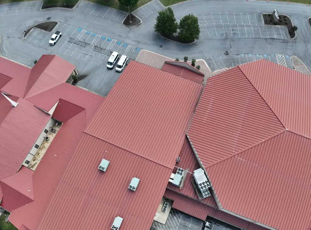
Drone roof inspections offer clients detailed, high-resolution images and videos, enabling efficient and accurate assessments of roof conditions, identifying issues, and streamlining maintenance and repair planning.
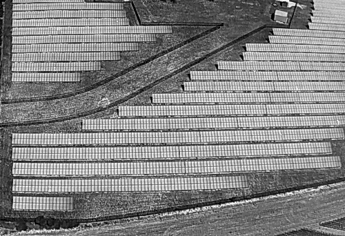
“Drone-based solar PV inspections provide clients with detailed thermal and visual data, identifying issues and inefficiencies in solar panels, ensuring optimal performance and facilitating timely maintenance.”
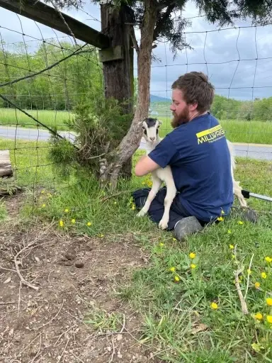
Thermal drone technology aids clients in quickly locating lost pets by detecting heat signatures, offering efficient and accurate recovery solutions even in challenging environments.
Drone services for aerial photos, videos, and 3D models provide clients with stunning visuals, comprehensive spatial data, and detailed perspectives, enhancing project analysis, presentations, and decision-making.
Utilize our drone services for efficient deer recovery after a challenging shot. Our advanced technology helps locate and track the deer accurately, ensuring a swift and humane resolution.
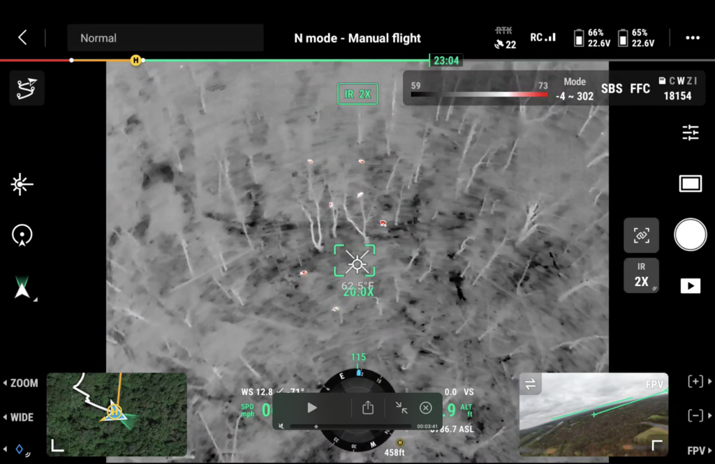
We offer drone services for comprehensive deer herd surveys, providing accurate counts and detailed insights into the number of deer on your property, helping you manage wildlife effectively.
